Fire management maps
Fire management maps provide information on an area’s fire history and events, fire management plan boundaries, planned activities, as well as supporting and related data.
They should be used alongside fire management plans which identify areas within the state that are most at risk and provide a strategic and coordinated effort to guide fire management activities.
How to use the maps
Navigate to your area of interest with this interactive map and explore:
- fire history and management plans
- NPWS parks and reserves
- creating a custom map to print or save
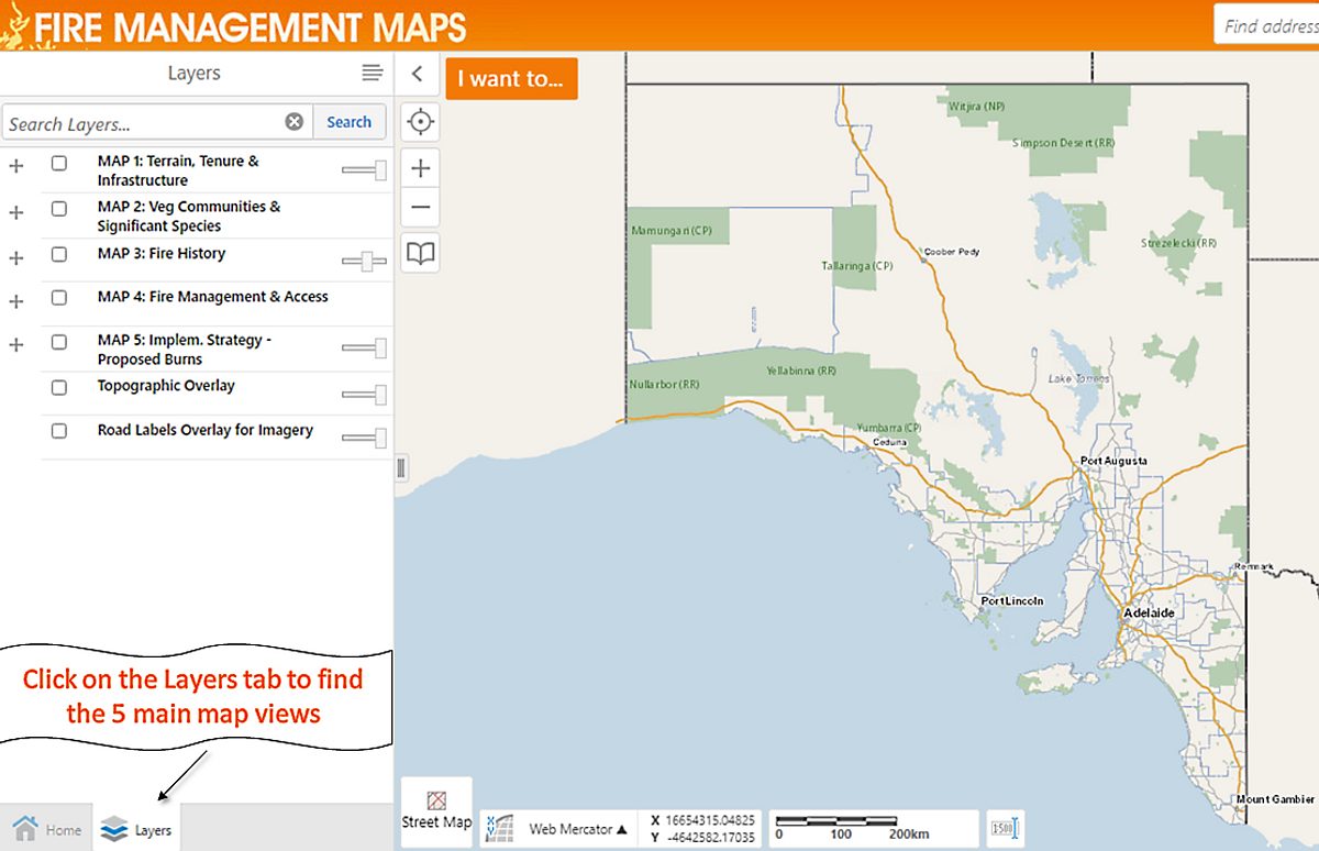
- the map using these layers:
1. terrain, tenure and infrastructure
2. vegetation communities and significant species
3. fire history
4. fire management and access
5. implementation strategy – proposed burns.

NOTE: Simple access tools are available in the ‘I want to…’ button in the top-left corner of the map. For example, if you select a fire management plan from the list, the map will zoom to its extent and display the proposed burns layer. You can also do this for a NPW reserve.
Take a look at this user guide for help on how to use the map.


