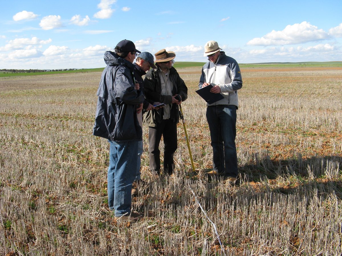
Erosion protection field surveys
Roadside field surveys have been conducted by DEW since 1999 to monitor soil erosion risk in the main dryland cropping Landscape regions of South Australia (Eyre Peninsula, Northern and Yorke, Murraylands and Riverland and Limestone Coast). These survey transects represent an area that covers approximately 8 million hectares of the 9 million hectares of cleared farming land in South Australia.
Geolocated paddock sites along transects are surveyed from the roadside each year in March, May, June and October. This time sequence is used to generate an annual profile of erosion protection, as the amount of ground cover and protection varies according to the seasonal growth cycles of annual crops and pastures. The process involves a simple visual assessment of key groundcover, surface looseness and soil and landscape parameters at each site.
Full details of the survey method can be found in the Field Survey Monitoring Manual.
Summarised results from the surveys have been published in erosion protection reports for these regions and the state.


